A proposal for the expansion of the Punta de Manabique Wildlife Refuge
to include Cayman Crown was submitted to the Guatemalan Congress under Initiative 5819.
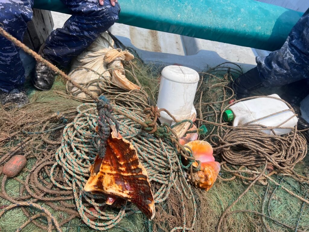
Monthly surveillance patrols in Cayman Crown and the Sapodilla Cayes Marine Reserve
were conducted especially during spawning season by TIDE supported by the Belize Fisheries Department.
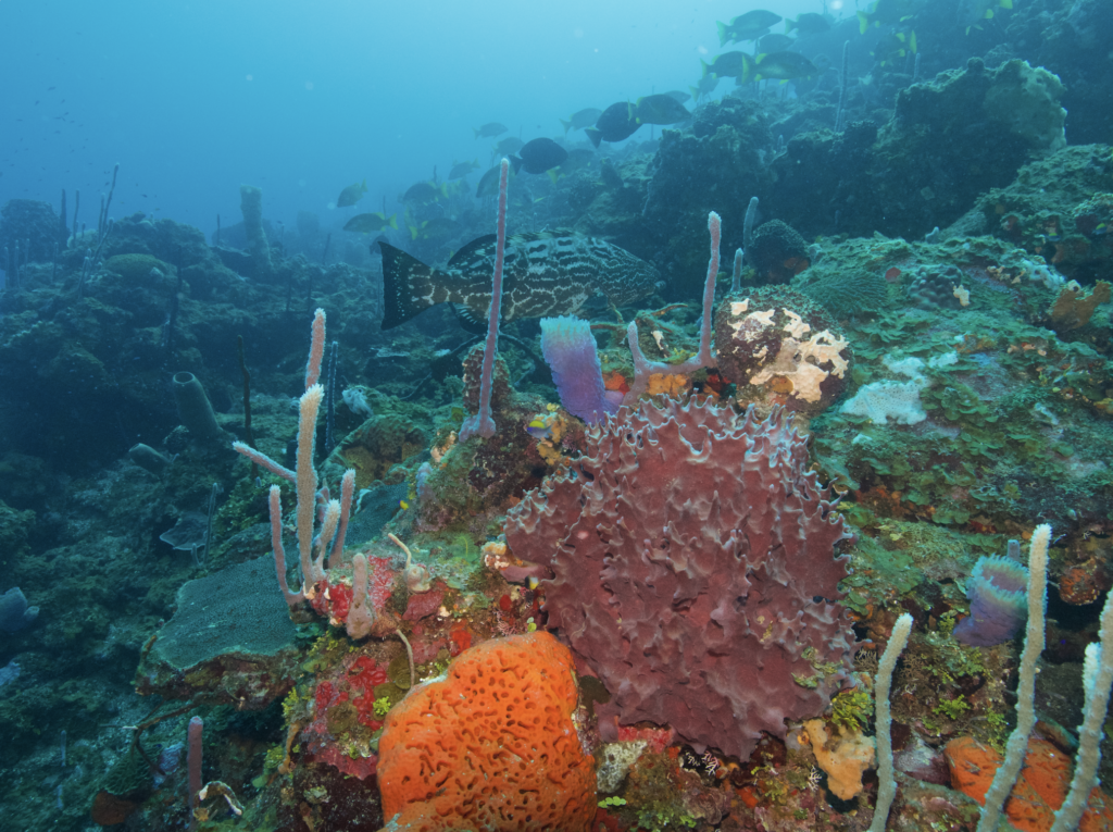
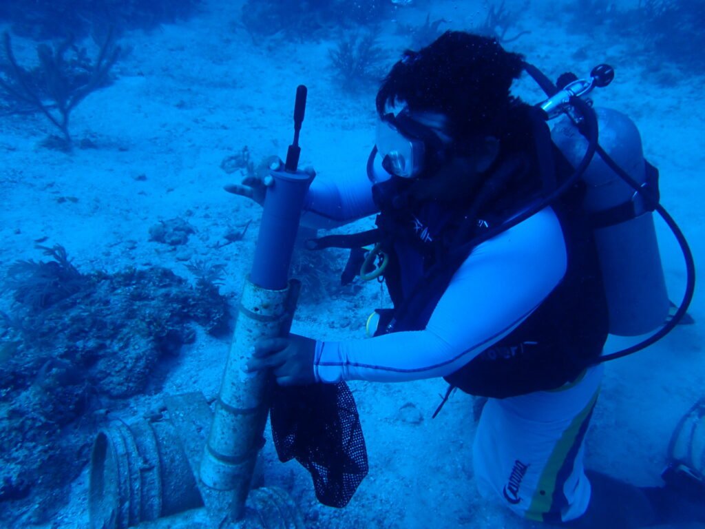
The 2020 FSA site characterization and monitoring field expedition
was conducted by TIDE at four multi-species aggregation sites, the Jewel Wall and the West Bezel Fisher Marker in Cayman Crown, and at Nicholas Caye and Rise and Fall Bank in the Sapodilla Cayes Marine Reserve in Belize.
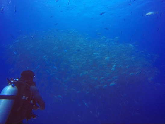
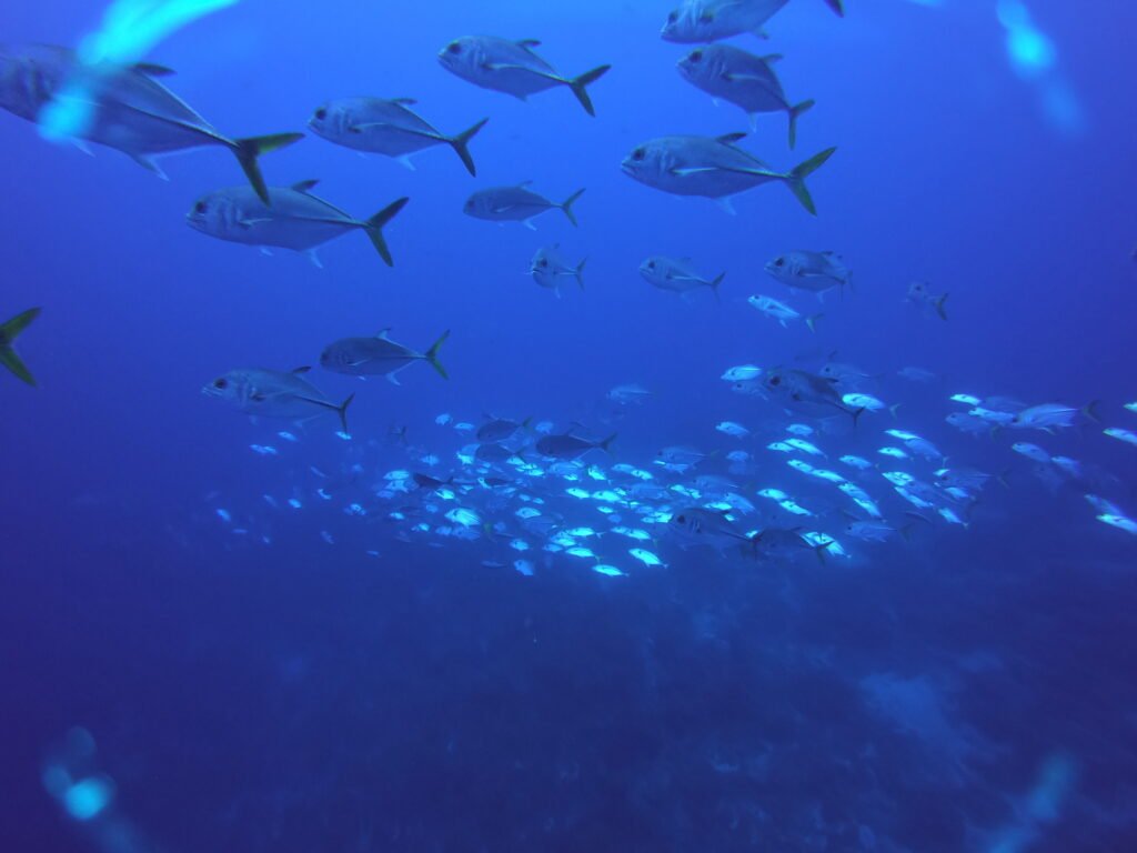
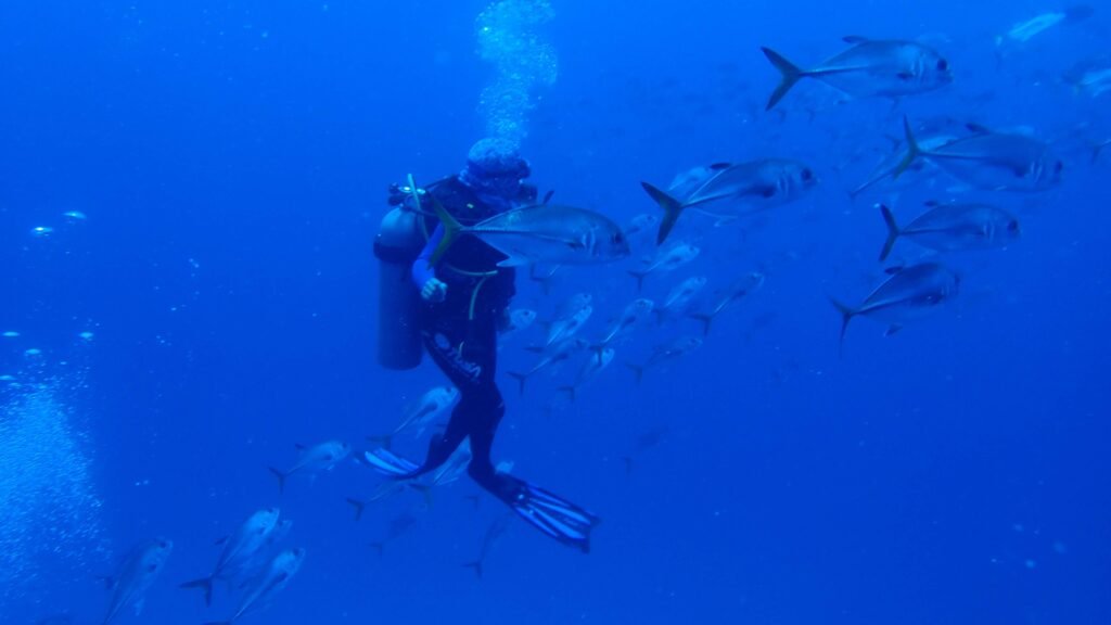
*Photography by SEAThe 2019-2020 fish spawning aggregation monitoring season
was completed by COBI in Mexico, at Niche Habin and El Faro sites; by SEA in Belize at Gladden Spit & Silk Cayes Marine Reserve; and by CORAL in Honduras at Power’s Point and Texas sites.
*Photography by TIDE.Binational characterization and monitoring of FSAs took place in the Cayman Crown Reef from 2021 to 2022 with TIDE and FUNDAECO
took place from 2021 to 2022 with TIDE and FUNDAECO.
The 2020-2021 FSA monitoring season
was completed by partners COBI in Mexico at Niche Habin, San Juan, and Blanquizal; and by CORAL in Honduras at Power’s Point, Sandy Bay, Texas, and Cordelia Banks.
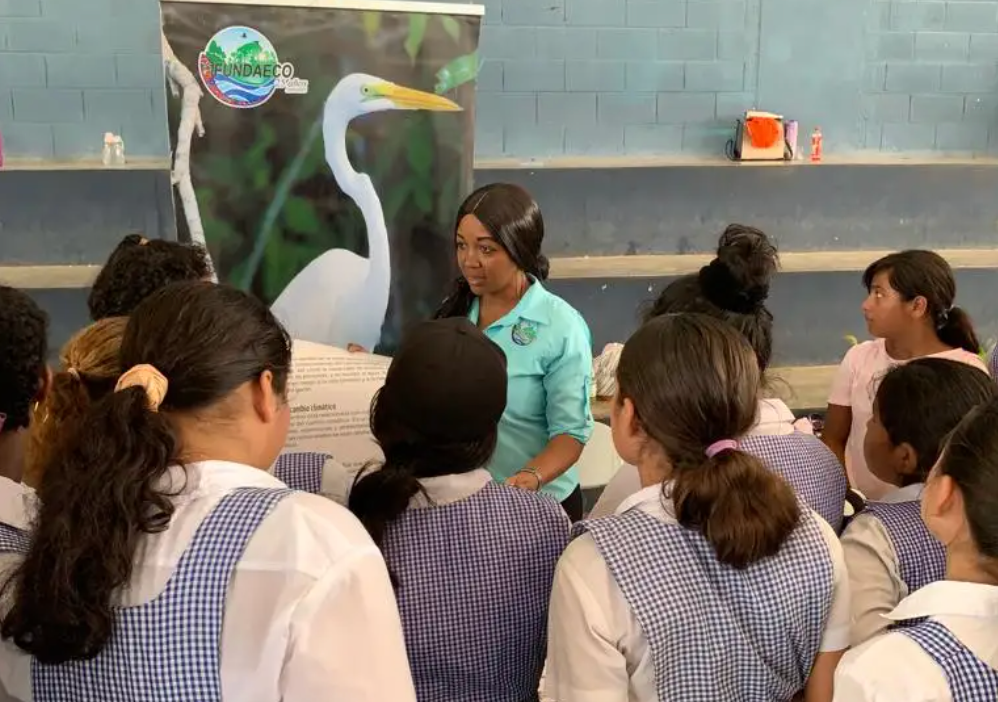
Eight environmental education workshops
were implemented in the Caribbean communities of Guatemala.
A budget and financial strategy and action plan
for the sustainability of the protected areas in Belize and Guatemala was developed and tailored to the specific conditions, characteristics, and policies of each country.
The 2021-2022 fish spawning aggregation monitoring season was completed
by partners COBI in Mexico at Niche Habin, San Juan, and Blanquizal sites; SEA in Belize at Gladden Spit & Silk Cayes Marine Reserve, and CORAL in Honduras at Sandy Bay, Man O’ War, and Cordelia Banks sites.
Nineteen environmental education workshops
were implemented by FUNDAECO in the Caribbean communities of Guatemala.
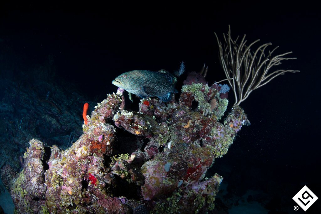
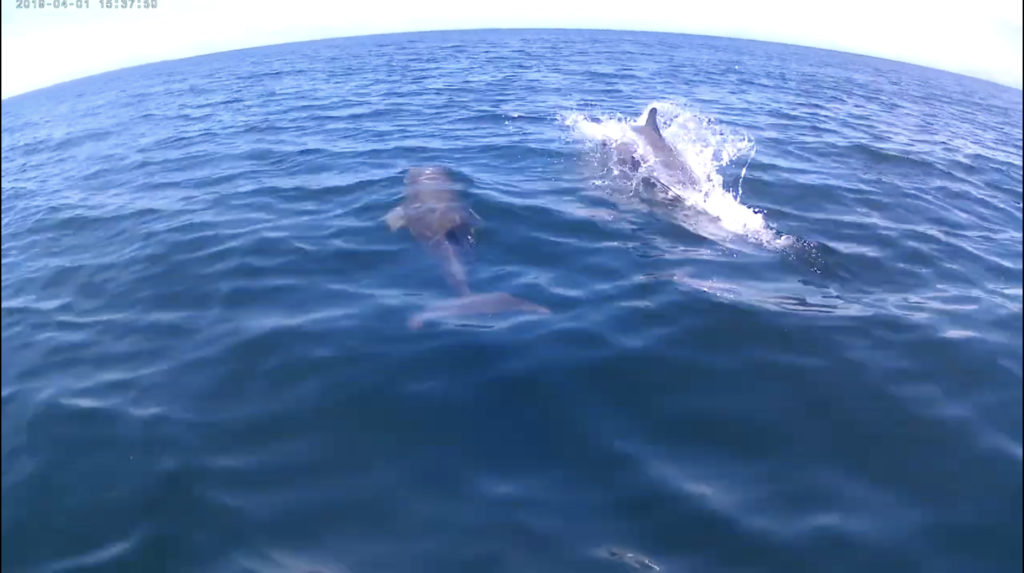
Marine megafauna monitoring
in Cayman Crown, Cabo Tres Puntas,and adjacent areas by FUNDAECO, resulting in 13 sightings, including dolphins, rays, and nurse sharks.
A Gentleman’s agreement for joint patrols
at the Sapodilla Cayes Marine Reserve, including Cayman Crown, was established by the Belize Coast Guard and TIDE.
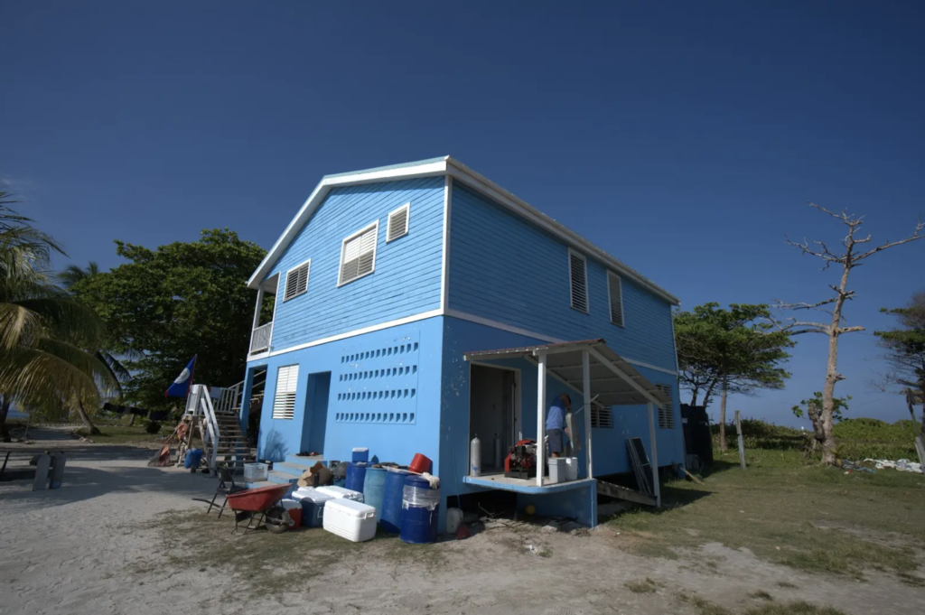
The Hunting Caye station in Belize was renovated and equipped
to allow the accommodation of the research and surveillance teams at the Sapodilla Cayes Marine Reserve, as the closest point to the Cayman Crown site.
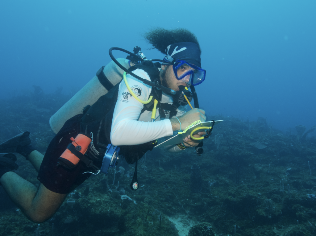
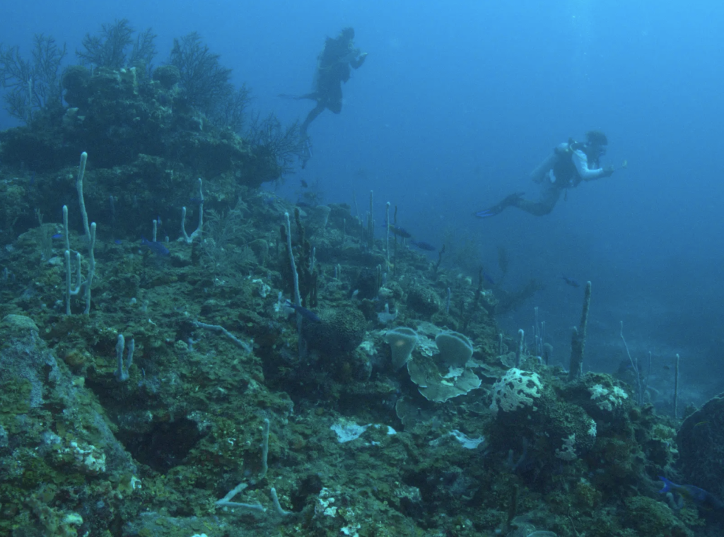
144 sites within the Cayman Crown and adjacent areas were surveyed by HRHP
and completed the third Cayman Crown field monitoring expedition for ecological characterization, including AGRRA monitoring, habitat map validation, seawater temperature, pH, coral bleaching, and acoustic data collection.
The Atlantic and Gulf Rapid Reef Assessment (AGRRA) training
was conducted by HRHP with 53 participants from the region.
The reef health monitoring expedition
expedition was conducted by HRHP from May to August 2023 in the four MAR country sites, the Cayman Crown area, and nearby fish spawning aggregation (FSA) sites.
Strategies for alternative income diversification activities for fishing communities
have been developed in the three countries of the Gulf of Honduras.
*Photography by TIDE.Surveillance patrols were carried out in the Cayman Crown area
25 in Guatemala by FUNDAECO, and 18 in the Belize area by TIDE
*Photography by FUNDAECOFUNDAECO implemented a total of 23 environmental education workshops in fishing communities from three protected areas of the Guatemalan Caribbean
(Punta de Manabique Wildlife Refuge, Rio Dulce National Park, Rio Sarstún Multiple Use Protected Area) and Livingston. A total of 977 people (519 women and 458 men) between the ages of 12-45 participated.
*Photography by FUNDAECO.Marine megafauna monitoring
in Cayman Crown, Cabo Tres Puntas, and adjacent areas by FUNDAECO, resulted in 15 sightings, including dolphins, rays, a blue marlin, and a nurse shark.
*Photography by COBI.COBI completed five FSA monitoring seasons between 2019 and 2023
collecting a total of 908 days of acoustic data.
*Photography by COBI.The 2022-2023 FSA monitoring seasons were completed by partners COBI
in Mexico at Niche Habin, San Juan, and Blanquizal sites; by SEA in Belize at Gladden Spit &Silk Cayes Marine Reserve; and by CORAL in Honduras at Power’s Point, Man O’War, and Cordelia Banks.
*Photography by TIDE.The 2022-2023 FSA site characterization and monitoring field expeditions
were completed by TIDE at four multi-species aggregation sites: the Jewel Wall and the West Bezel Fisher Marker in Cayman Crown and at Nicholas Caye and Rise and Fall Bank at the Sapodilla Cayes Marine Reserve in Belize.
An FSA regional platform was developed to host FSA data collected since 2019 by the MAR Fish partners
and allow regional analysis of the sites to provide informed science-based information to improve the management of the protected areas network.
A regional workshop training on standard techniques and protocols for monitoring aggregations was conducted in Belize with 19 participants from the region.
where 19 participants from the region participated.
Three community fisher associations were legally registered from three communities
in Honduras were legally registered and began income diversification projects to reduce their fishing effort .
A public-private investment plan on economic alternatives was developed
for three communities that fish in Cayman Crown in Guatemala.